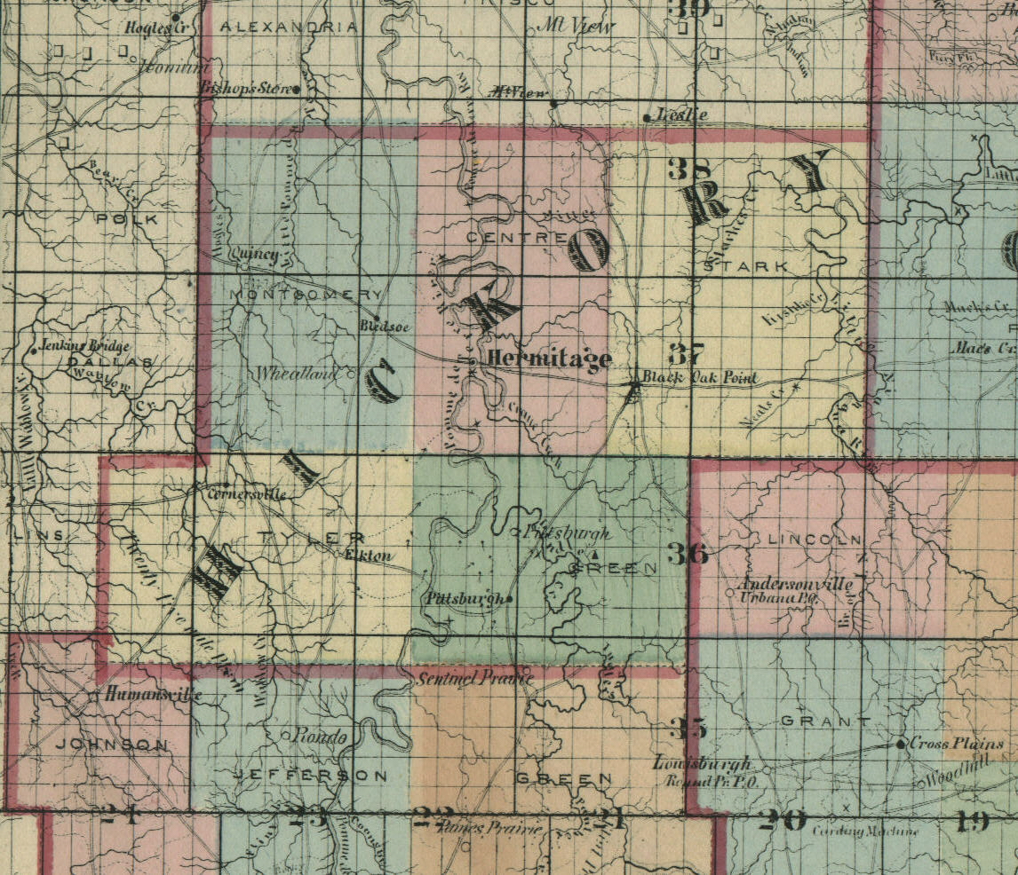
HICKORY COUNTY, 1872
CAMPBELL'S SECTIONAL, TOPOGRAPHICAL & DESCRIPTIVE ATLAS OF MISSOURI
Compare this map to a current one to see how much the county has changed in 130 years. In particular, note that there were no railroads in the county yet, Weaubleau was then Cornersville, Preston was then Black Oak Point.
1895 map of Hickory County, from the 1895 U.S. Atlas (Slow loading)
Current map of Hickory County from the USGS (Be Patient!)